The Final Environmental Impact Statement and two Draft Records of Decision are available for the Rico West Dolores Roads and Trails (Travel Management) Project.
The project will now enter a pre-decision objection process. The information in the Draft Records of Decision is preliminary. If no project changes are identified in the pre-decisional objection process the information in these Draft Records of Decision will become the final decisions of the project. The Draft Records of Decision explain the minimum road system, designations for motor vehicle use, and project specific amendments to the Forest Plan. Only those persons who commented during one or more of the public comment periods held previously will have standing to object to these Draft Records of Decision. A brief summary of the Decision and instructions for submitting objections are explained in the Cover Letter attached. I welcome you to read the documents posted on the website. This is not a public comment period so comments about the alternatives or the analysis are not solicited, however, my staff and I are available to answer questions about the project at any time. I have read the public comments received previously and feel these draft decisions reflect my understanding of public concerns and impacts to the environment.
The Cover Letter, Draft Records of Decision and the Final EIS are available online at https://www.fs.usda.gov/
A 45 Day objection period begins today November 14th and there is a 60 day objection time period for the Forest Plan amendment which begins tomorrow. For questions about the objection process, or to receive a CD or hard copy of the documents please contact Debbie Kill at dkill@fs.fed.us or call 970-882-7296
The preliminary decision is Alternative B (Modified). From the current situation the decision would remove motorcycle use from 31 total miles of single track motorized trail at various locations, add 12 miles ATV/UTV trail, downgrade 5 miles from gravel surface to native surface, convert 5.32 miles of road to trail, decommission 7 miles of ML2 or ML3 roads and decommission 40 miles of ML1 roads. Alternative B would reduce single track motorized trail riding in most but not all of Bear Creek, the Ryman Creek Trail, trails near the Town of Rico, and in the area west of Forest Road 471. The Calico trail and its connectors, East Fork trail, and trials near Taylor Mesa and Stoner Mesa maintain single track motorized opportunities.
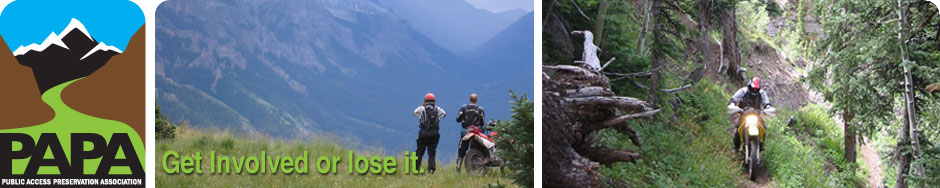
We don’t have to tell you that the preliminary decision is devastating to the single track motorized trail user group. We urge you to use your right to comment. Conveniently submit your comments electronically online at:
https://cara.ecosystem-management.org/Public//CommentInput?Project=44918
Thank you for your participation.
PAPA Board